

 During Covid-19
 About Us
 Your Saved Properties
MONGMONG-TOTO-MAITE
Mongmong-To’to-Maite’
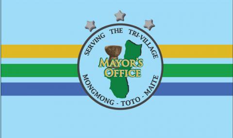
MONGMONG-TOTO-MAITE
Mongmong-To’to-Maite’
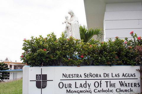
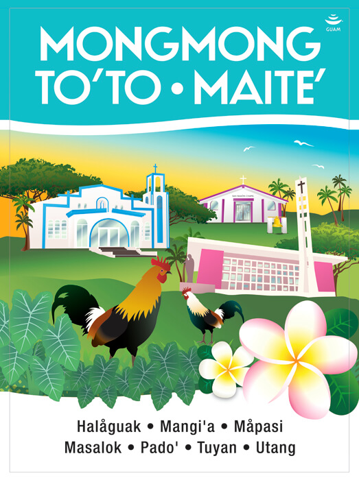
The first of three villages combined into one derives its name from the word “momongmong”. “Momongmong” comes from the sound of a heartbeat but through word evolution came out to “mongmong”. The second village derives its name from the word “to to”. “To to” means to lie or recline on one’s back. The third village derives its name from the word “ma ette”. “Ma ette” means to nudge or touch another person usually accidentally with your hands or with some part of your body.
PITI
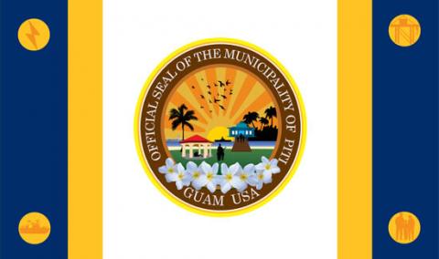

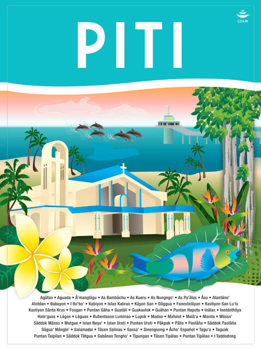
PITI
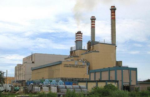
The village of Piti is also known as “The Port City”. This village derives its name from the word “puti”. “Puti” means pain either through a sore, disease, illness or through physical or emotional pain. Piti is approximately two miles in length and width. A number of historical sites are situated within the village.
SANTA RITA
Sånta Rita
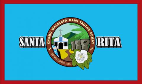
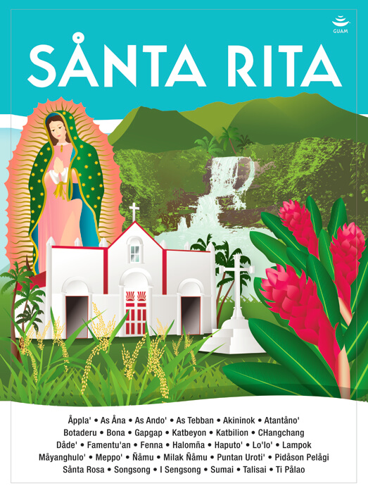
SANTA RITA
Sånta Rita
Santa Rita is located on the southwestern side of Guam and is part of the Haya (Southern) District. This village does not have an original name because it was established in 1945 when residents were moved from the destroyed Sumay village. "Santa Rita" is the patron saint of abused wives. It is not clear how the name was decided upon, nor for what reason the name was chosen when the village was established.
SINAJANA
Sinahånña
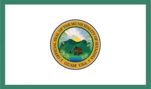
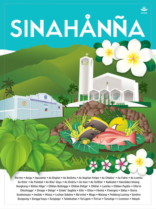
SINAJANA
Sinahånña
The village of Sinajaña is located in the central part of the island and is part of the Kattan (Eastern) District. Sinajaña overlooks the central parks of Guam and sits atop of Hagåtña. The village derives its name from the word “chinahan”. “Chinahan” means the method of baking wild yams in the dirt. The “ña” at the end of the village name “Sinajaña” refers to the people who helped in the baking process.
TALOFOFO
Talo’fo’fo
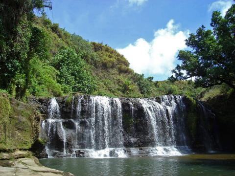
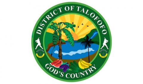
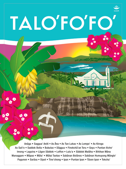
TALOFOFO
Talo’fo’fo
The village of Talofofo is located in the south eastern side of the island and is part of the Haya (Southern) District. This village derives its name from the saying "entalo' I fe'fo"."Entalo' I fe'fo" means between the cliffs where this place is situated and surrounded by cliffs. It is possible that another word gave this village its ending name. The word 'fo'fo"means a bubbling spring. Because the Talo'fo'fo River and the Talo'fo'fo Falls are located in this village, the name could possibly mean between the bubbling springs.
TAMUNING-TUMON-HARMON
Tamuneng-Tomhom
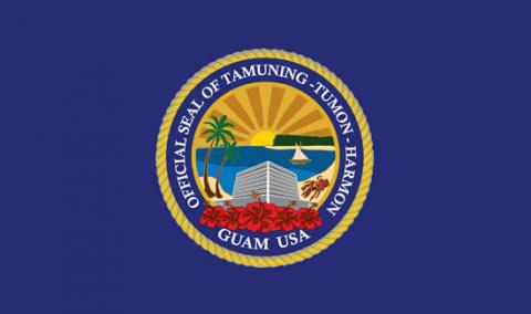
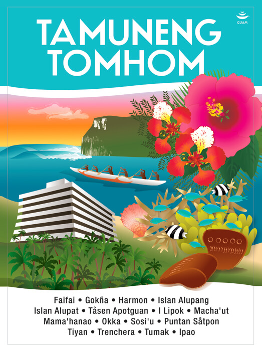
TAMUNING-TUMON-HARMON
Tamuneng-Tomhom
There are two Carolinian stories that relate to how this village derives its name. First, there was a Carolinian Chief named Tamuning who was brought over from Ulul Atoll in the Caroline Islands. The second came from a Carolinian word “Tamuning” which is the movement of people from Apotuan on to the area where a cotton plantation was run by an individual named George Johnston. Mr. Johnston was an American businessman who married a Spaniard woman and was permitted to grow cotton in what is now Tamuning. The second village drives its name from the saying “ti apmam homhom” which means it is getting dark and refers to hunters and fishermen who walk from southern Guåhan to fish or hunt in this place and by the time they get there it is nearing darkness.
UMATAC
Humåtak
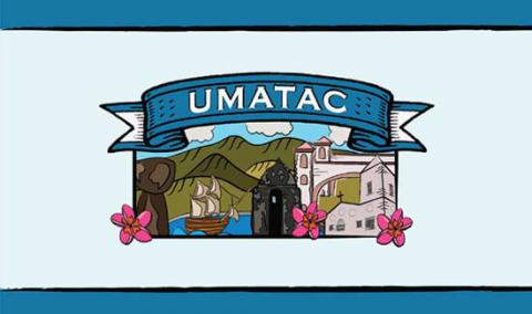
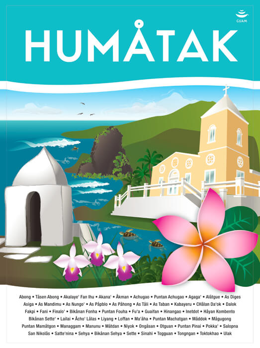
UMATAC
Humåtak
The village of Umatac is located in the southwestern side of the island and is part of the Haya (Southern) District. This village derives its name from the word “uma”. “Uma” means to carry something on the back or a heavy load on the shoulders. Umatac is the smallest and second oldest of Guam’s villages after Inarajan. This is the village that Ferdinand Magellan is alleged to have visited and it was through his escapades with the villagers that led him to rename Guam, the “Island of Thieves.”
YIGO
Yigu

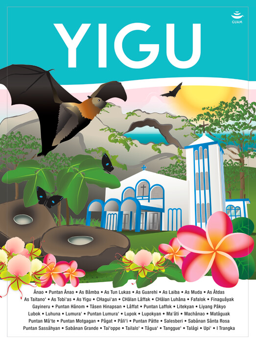
YIGO
Yigu
This village derives its name from the word "yugu". "Yugu" means the frame placed over the neck of a carabao and harnessed to a cart. Yigo is the island's northernmost village. The soil is rich for coffee, cocoa, pineapples, oranges and tangerines, which grew in abundance before the war. This village also produced chocolates, which were then transported to Hagåtña where they were served to visitors in the Chocolate House of the Governor's palace. Yigo also has many Ifil wood trees, the hard wood used to make the yoke of the carabao and oftentimes the construction of the carabao cart.
YONA
Yo’ña
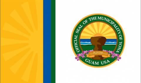
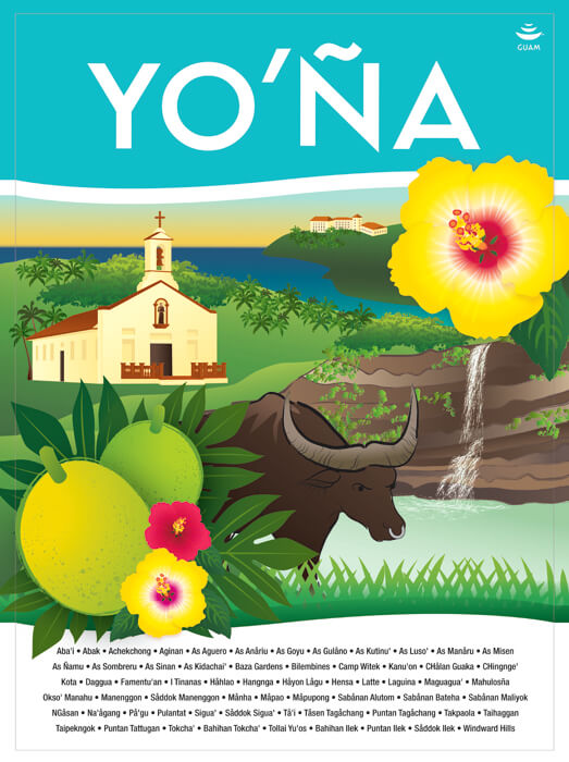
YONA
Yo’ña
The village derives its name from the word "iyo-'a. Iyo-a" means the possession of something be it material things, personal items, or spiritual ownership. Yona is located on the southeastern side of the island and is situated on a plateau overlooking the Pacific Ocean and is part of the Haya (Southern) District. Yona is well known to islanders because of Menenggon, the infamous concentration camp where the Japanese imprisoned the Chamorros before the American invasion. This village follows the village of Sinajaa where development in the form of Urban Renewal created what is Yona today.