

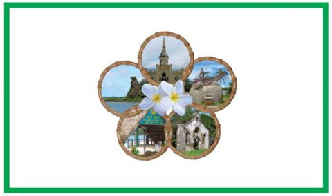
 During Covid-19
 About Us
 Your Saved Properties
AGANA HEIGHTS
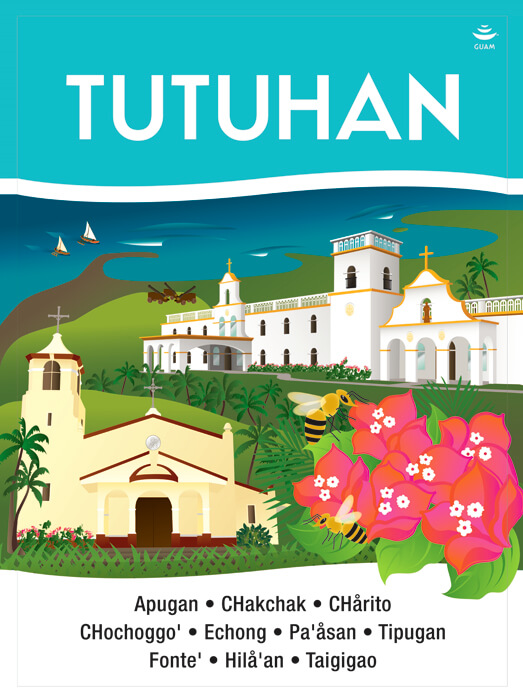
Tutuhan
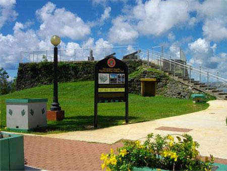
AGANA HEIGHTS
Tutuhan
Agaña Heights is located in the central part of the island. It is part of the Kattan (Eastern) District. The village derives its name from two words “Tutuhon luhan”. “Tutuhon lujan” means someone who becomes scared because of impending doom or is terrified about something. Agaña Heights was a ranchland long ago and those who ranched in this area were villagers from Hagåtña. It was said that there were no trails on Agaña Heights and the only access was for ranchers to climb the steep cliffs along the perimeter of the village. The only way to get to and from Agaña Heights was through the steep cliffs and often ranchers stood at the top of the cliff and surveyed the long climb down and as they did, they would experience a feeling of fear as they contemplated the precariousness of the situation.
AGAT
Hågat

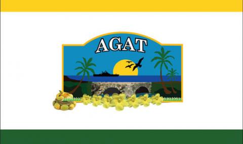
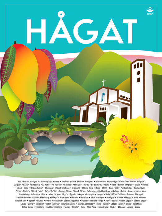
AGAT
Hågat
Agat (Hagat) village is located on the southwestern side of the island. This area is part of the Haya (Southern) District. Old Agat was built between 1680 and 1684 and was designed by the ruthless Spanish Governor Don Jose Quiroga as a settlement for rebellious islanders whose homes had been destroyed. Many of its first citizens were brought from the interior village of Fena, which had also been wiped out. In July of 1944, the village of Old Agat was totally destroyed by the American invasion. After the war, new Agat sprang up in a location further south and is one of the villages in the south that is now experiencing development and commerce.
ASAN-MAINA
Assan-Ma’ina


ASAN-MAINA
Assan-Ma’ina
Asan (Hassan) and Maina are located in the southern-central side of the island. This area is part of the Luchan (Western) District. This village derives its name from the word "hassan". "Hassan" means scarce or rare. The word "ma'ina" refers to the other village that makes up this district together with Asan. Hunters hunted by the light of a torch and also saw what they caught by the light of the same torch. Another meaning of the word "ma'ina" deals with an infant who between the times of his birth to his baptism, is taken by his mother to a church mass before sunrise; this ritual considered the presentation of the child to the temple or church.
BARRIGADA
Barigåda
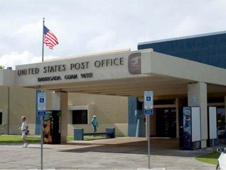
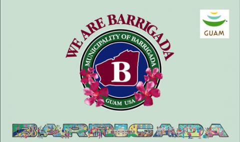
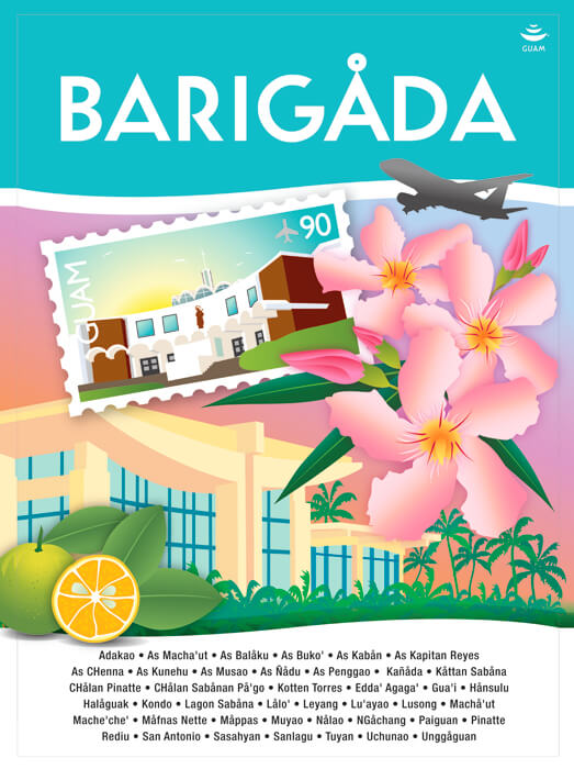
BARRIGADA
Barigåda
The village of Barrigada is located in the northeastern part of the island. It is part of the Kattan (Eastern) District. Barrigada owes its name to a Chamorro legend. When the god Puntan was about to die, he instructed his sister Funa how to dispose of his body. He said that his eyes were to become the sun and the moon; his eyebrows, the rainbow; his breast, the sky and his back, the earth. Barrigada means, “flank.” Looking down from atop Mt. Santa Rosa, the island resembles a man lying on his back with his flank being the most noticeable.
CHALAN PAGO-ORDOT
Chålan Pågu-Otdot

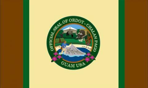
CHALAN PAGO-ORDOT
Chålan Pågu-Otdot
Chalan Pago-Ordot village is located in the eastern-central part of the island. It is part of the Kattan (Eastern) District. The word “chalan” makes up the first part of this village name. “Chalan” means road or street and in olden days, paths or trails. The word “pago” makes up the second part of this village name. “Pago” is the wild hibiscus tree that grows in abundance in this area. “Ordot” means ants. Both ants and hibiscus trees can be found in abundance throughout this beautiful village.
DEDEDO
Dededu
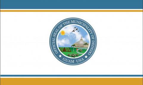
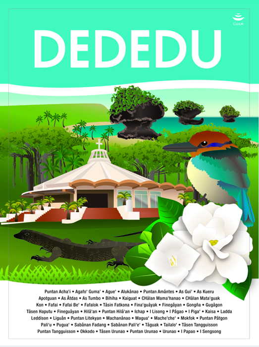
DEDEDO
Dededu
Dededo is located at the north central part of the island where most of the population on Guam presently centers. It encompasses an area of about 30 square miles of Guam’s 212 miles. The word Dededo comes from a system of measurement using the fingers in which each finger signifying an inch. So as one measures “one inch, two inches, three inches” the name Dededo was derived the measurement of two fingers indicating two inches. There is another word that could possibly give this village its name. The word “dedeggo” means a person who walks on tiptoes so as not to wake up those who are sleeping. It is not clear whether Dededo got its name because someone long ago measured the place with his/her fingers or the people habitually walked on tiptoes.
HAGATNA
Hagåtña
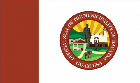
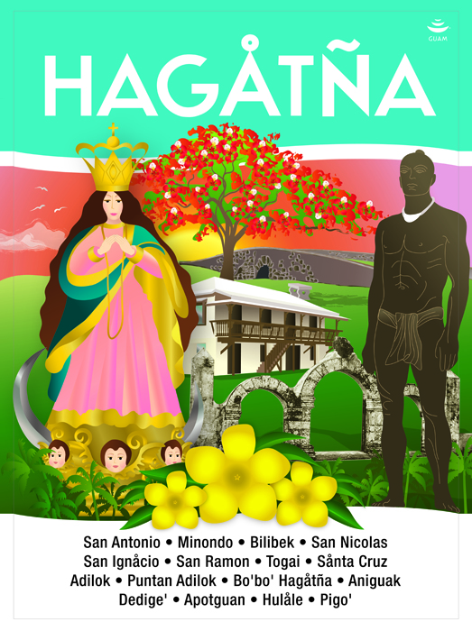
HAGATNA
Hagåtña
Hagåtña is the capital of Guam. It is located in the center of the island and part of the Kattan (Eastern) District. The village derives its name from the word “haga”. “Haga” means blood and that this village came about due to the bloodlines of families and relatives that helped establish this village. Hagåtña became a village when the Spaniards decided that the area be the capital of the island. Hagåtña is where you find places named after the saints, as the city is also the seat of the island’s religion – Catholicism. The three branches of government: Judicial, Legislative, and Executive are located here. Also, it is the center of all commercial activities with legal offices, banks, department/variety stores, insurance, technical and professional services and recreation facilities.
INARAJAN
Inalåhan

INARAJAN
Inalåhan
The village of Inarajan is located on the southeastern side of the island and is part of the Haya (Southern) District. This village derives its name from the word Halla. Halla means to pull something or move something with a rope tied to it. Another word that may give meaning to the village name is the word Halla. This word refers to a kind of large woven coconut basket used for storage of fish or vegetables.
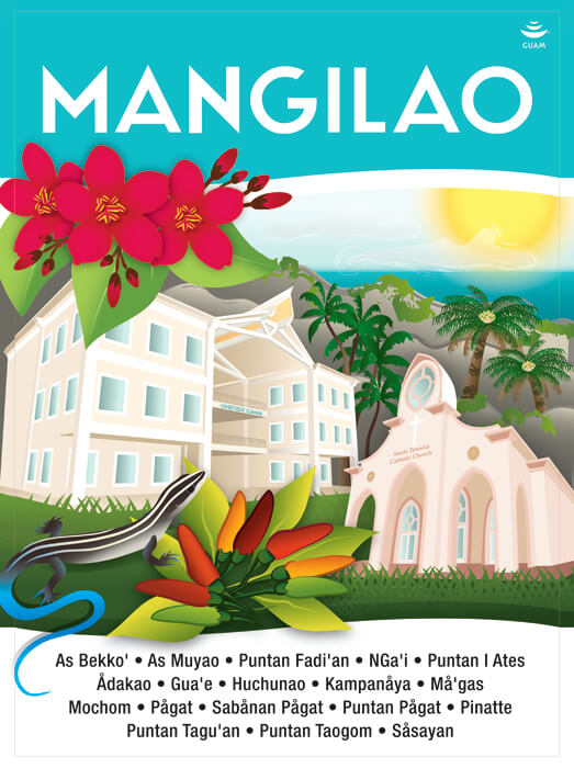
MANGILAO
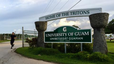
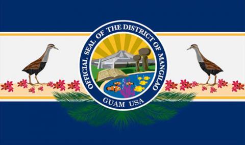
MANGILAO
The village of Mangilao is located in the eastern part of the island and is part of the Kattan (Eastern) District. This village derives its name from the word "ilao". "Ilao" means to look for something or to search for something. Hunters or fishermen went to this area to fish or to search for crabs, deer or wild pigs. Mangilao is the center of higher education on Guam with both the University of Guam and the Guam Community College. Rapid development in this village has made it quite populated, as it is now the home of many Micronesian islanders who have chosen to migrate to Guam. The island prison facilities for juvenile offenders and convicted criminals are located here as well as the Government of Guam's Agricultural station and the experimental station for seafood harvesting under the Government's Commerce Department.
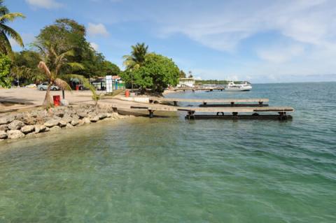
MERIZO
Malesso’
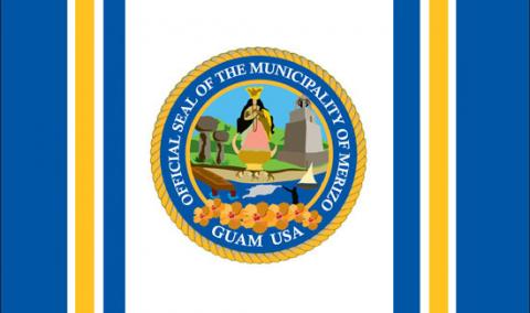

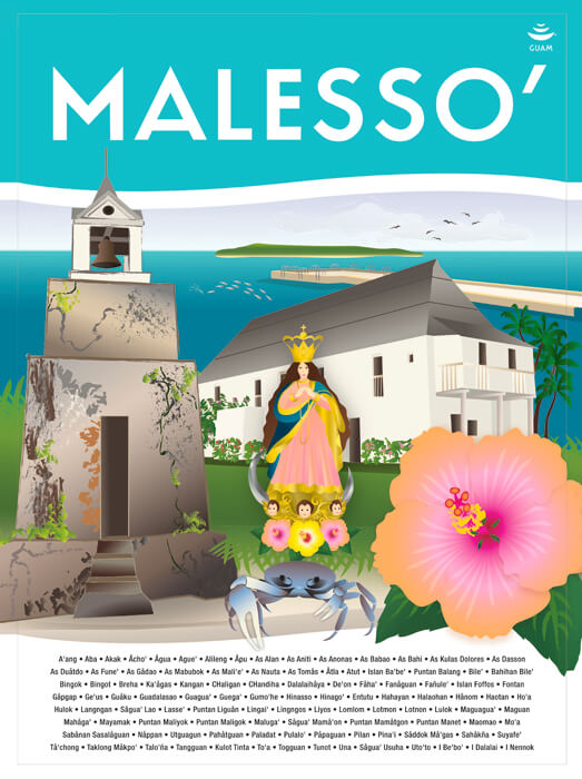
MERIZO
Malesso’
The village of Merizo is located on the southern tip of the island and is part of the Haya (Southern) District. The village derives its name from the word “lesso”. “Lesso” is the next growth size of the juvenile rabbit fish locally known as “manahak” and these were caught at the mouth of the bay of that village. Merizo is the southernmost village where one can ride a boat to a smaller island known today for its recreational and resort facilities – Cocos Island. This small historic village was home of the ancient Chamorros who lived along the shores of the bay and fished for a living in the abundant sea, especially full of “lesso”, which gave the village its name.